Dalmatian and Zelenika railway
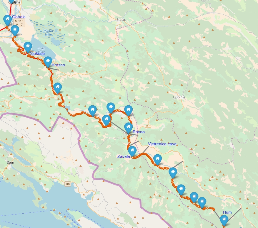
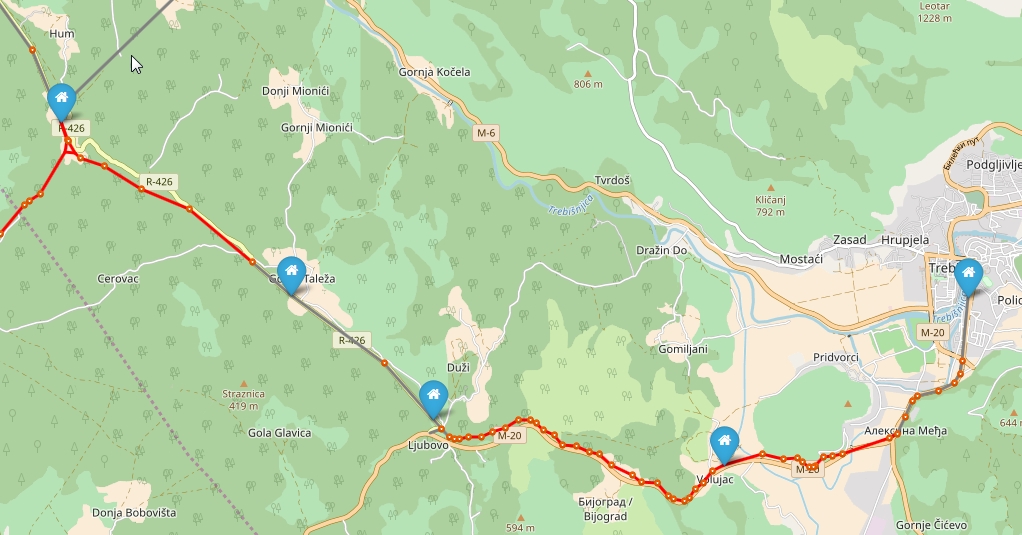
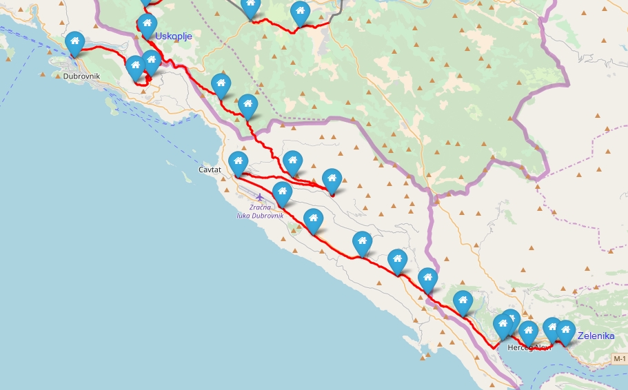
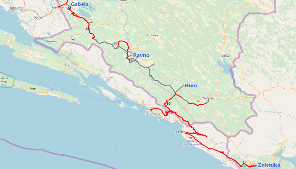 Track Gabela-Zelenika length: 155,5 km; with all sections 189 km ; Gray: drive by car; Credit: OpenStreet map
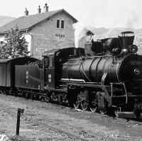
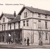
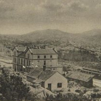
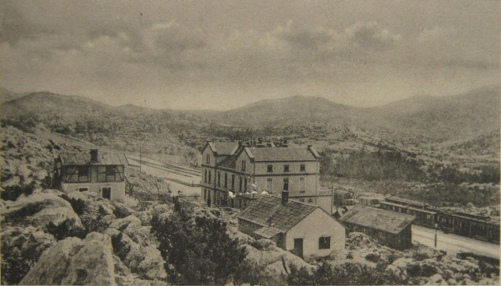 Station - Uskoplje; Date:<1919; Credit: Unknown, www.zeleznice.in.rs; Licence: Public domain; View file on Wikipedia
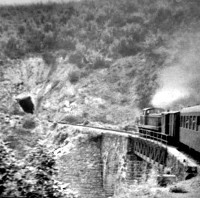
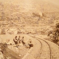
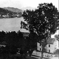
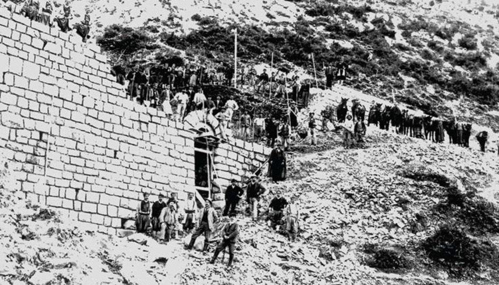 Building track Gabela-Zelenika near Sutorina; Date:~1900; Credit: Unknown; Licence: Public domain; View file on Wikipedia
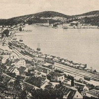
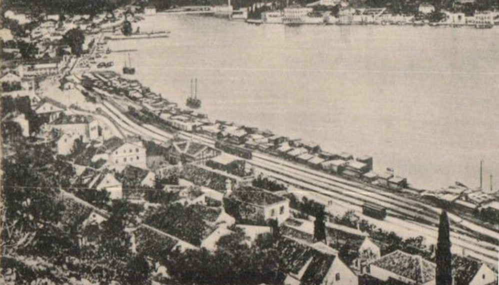 Dubrovnik - Gruž; Date:<1919; Credit: Unknown, www.zeleznice.in.rs; Licence: Public domain; View file on Wikipedia
Track Sections
Length arround 155,5 km. Considering all sections 193 km.
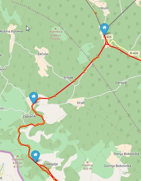
Čapljina-Gabela-Hum (96 km)
: 21 stations
From Čapljina to Gabela, the trains of the Dalmatian Railway use the track of the Narenta Railway. Shortly after the junction, the railway crossed the Narenta (Neretva) and then the Krupa on a 130 meter long railway bridge. With the help of a sweeping loop, the trains overcame a ridge, then to go with a gradient of 12 to 17 per thousand at Hutovo in to Trebišnjica Valley.
Hum-Trebinje (16,6 km)
: 6 stations
At Hum the railway branched in one direction to Uskoplje and second to Trebinje. The line in direction Trebinje had a length of 16,6 km. In the year 1931 the track was extended to Bileća.
Hum-Uskoplje (9,4 km)
: 3 stations
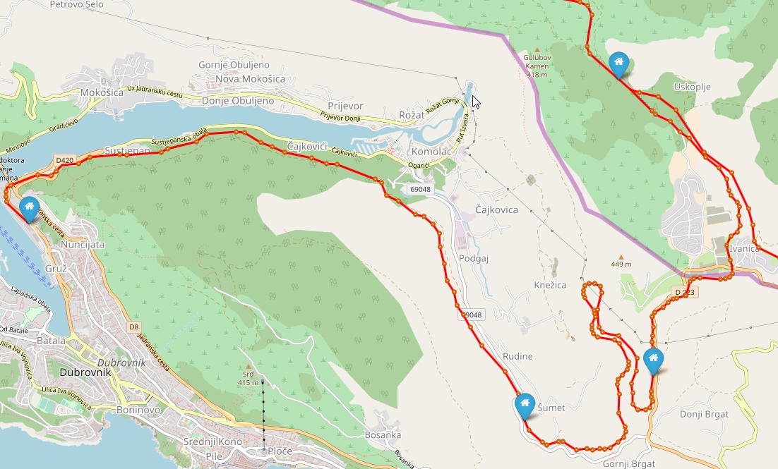
The main line left Hum and the Trebišnjica valley in direction Uskoplje. At Uskoplje the railway branched again. One line in direction Dubrovnik and second in direction Montenegro and valley Zelenika.
Uskoplje-Dubrovnik (16,5 km)
: 4 stations
At Uskoplje the railway branched. A branch line with 16.5 km length crossed the Border with Dalmatia and led down to the Dalmatian Adriatic port in Gruž. To reach this goal the reversal track tunel Knežica (276-meter) helped to manage the strong track gradient.
Uskoplje-Zelenika (65,4 km)
: 18 stations
The mainline continued to Glavska to reach the highest point of the track and there to reach the border with Dalmatia. From the high plateau of Glavska the 53.4 km long Dalmatian section led initially with 20-25 degrees downhill through a 410 meter long spiral tunnel and a sweeping loop down to Čilipi. From Gruda the route rose again with 25 per thousand to overcome a ridge of 185 meters above sea level. The last few kilometers led down to the railhead Zelenika on the scenic bay of Kotor.
