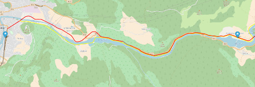
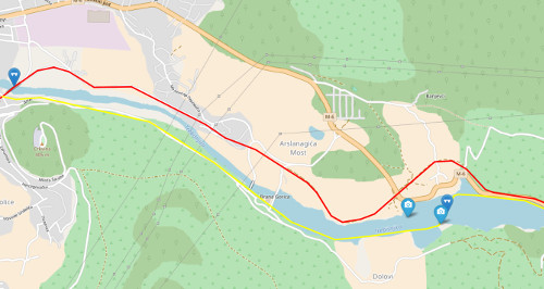
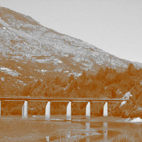
Trebinje - Bileća section
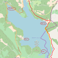
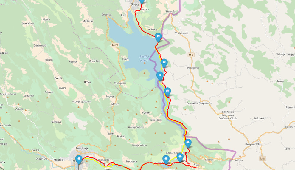 Track Trebinje - Bileca length: ~40km; yellow: old track before dam building; Credit: OpenStreet map
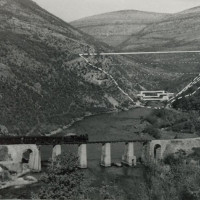
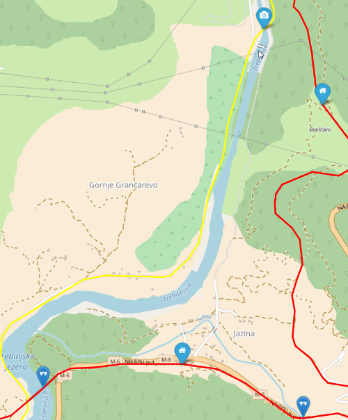
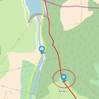
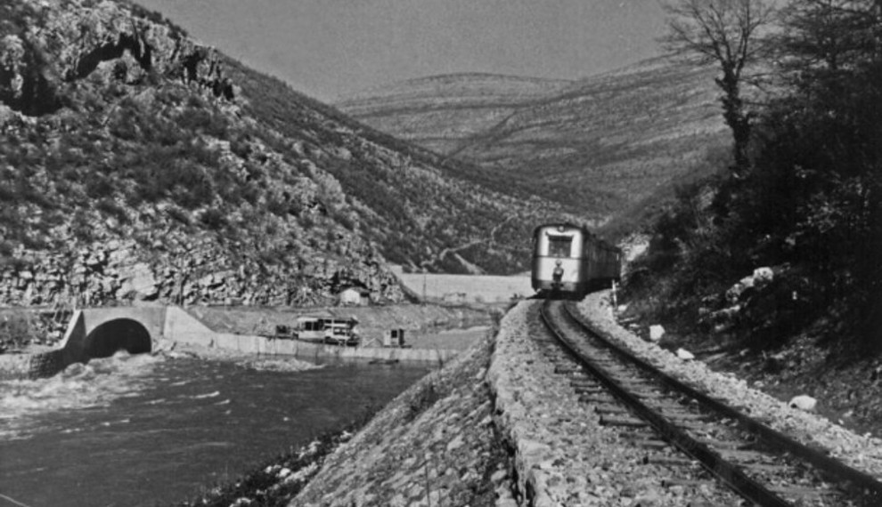 Old Section before 1968, near dam Grančarevo; Date:??; Credit: trebinjedanas;
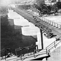
 Building new tunel at Grančarevo; Date:??; Credit: trebinjedanas;
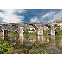
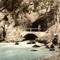
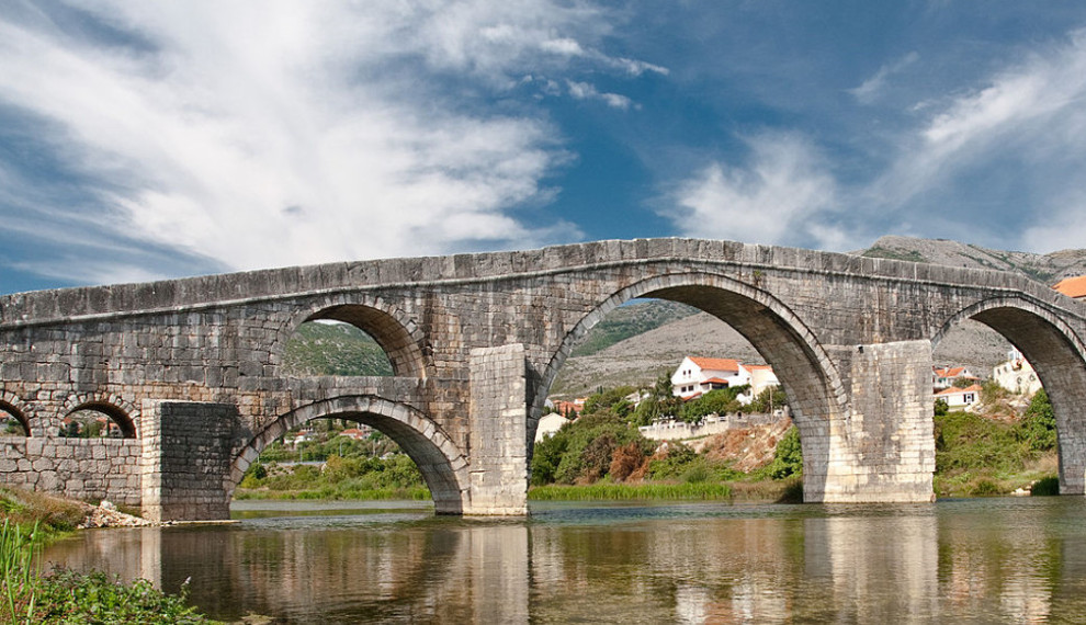 Arslanagića Most - new location; Date: 1. October 2010; Credit: Hylaride @ wiki; Licence: CC BY-SA 3.0; View file on Wikipedia
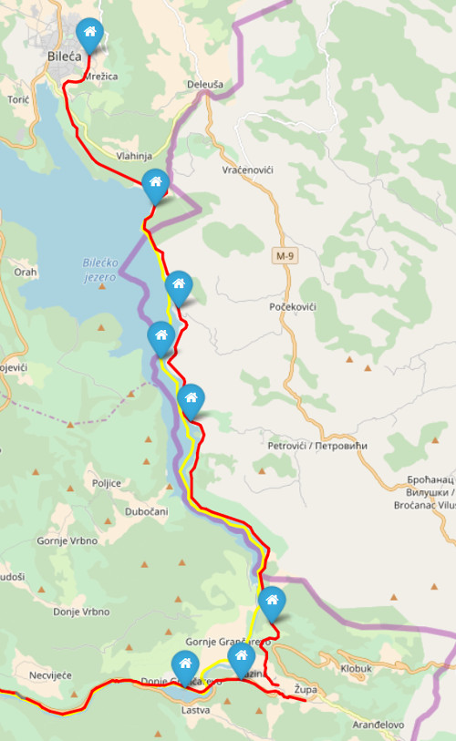
Track Sections
Length arround 40km.
Old track from 1930 until 1962 (yellow 36,9km)
: 8 stations
The first section was build from Trebinje to Lastva, which was opened in the year 1930. The second part from Lastva to Bileća was opened one year later on 1931.
New track from 1962 till the end at 26.05.1976 (red 42,3km)
: 11 stations
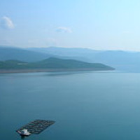
In the year 1962 the first dam was build on the river Trebisnjica. The first railway section was adapted for that (between Trebinje and Lastva). At the year 1966 the second and bigger dam was build, which results with the bigger lake "Bilećko Jezero". Because of that, the section has been adapted twice (Between Lastva and Bileća). The track was moved to an upper location.